Field Notes: A Week Testing Data Collection Apps in the Cederberg
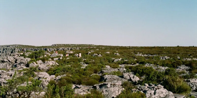
Four phones, four apps, seven days in the Cederberg Wilderness Area. What actually works when the signal drops, the heat hits 38°C, and the baboons raid your camp.
Read more → Four phones, four apps, seven days in the Cederberg Wilderness Area. What actually works when the signal drops, the heat hits 38°C, and the baboons raid your camp.
Read more →
If you can code, design, write, translate, or test software, there is a conservation project that needs you. Here is exactly where to start.
Read more →
Between 17 and 20% of the Amazon is already gone. At 20–25%, the forest can no longer generate enough rain to sustain itself. It flips to savanna — and it doesn't come back.
Read more →
Real camera trap survey budgets at every scale. Hardware prices, labor rates in Africa, hidden costs like batteries and image processing time. What you actually get for your money.
Read more →
Just 32 companies produced over 50% of global fossil CO2 in 2024. The number is shrinking. The production is growing. Every figure is cited.
Read more →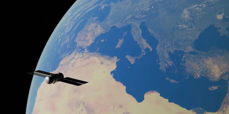
A practical guide to AlphaEarth Foundations, Google DeepMind's geospatial foundation model, and the Google Satellite Embedding dataset in Earth Engine: what it is, what it means for science, and how to use it for conservation, land cover, change detection, and similarity search.
Read more →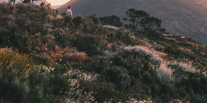
A Cape Town-specific guide to the conservation work protecting fynbos, wetlands, penguins, baboons, caracals, seabirds, turtles, sharks, amphibians, and urban biodiversity
Read more →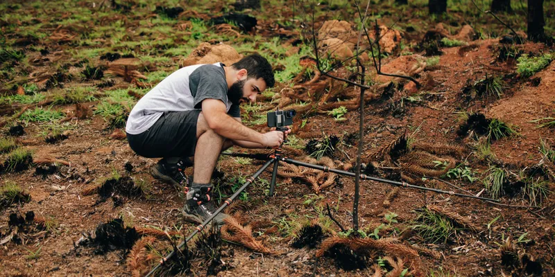
How Conservation X Labs, Wild Me, and the Wildbook open-source platform use AI, citizen science, and photo-identification to monitor wildlife populations at conservation scale.
Read more →
How GBIF turns museum specimens, field surveys, citizen science, DNA-derived records, and institutional datasets into open biodiversity infrastructure for research, policy, and conservation.
Read more →
A practical, source-backed guide to Google Earth Engine as a planetary-scale geospatial computing platform: its data and programming model, why it changed environmental science, and how to start using it with JavaScript, Python, datasets, exports, apps, and machine learning.
Read more →
A practical field guide to resilient communications for remote conservation work: VHF/UHF radio, LoRa, Meshtastic, satellite messengers, satellite phones, Starlink, point-to-point Wi‑Fi, cellular routers, and field data platforms.
Read more →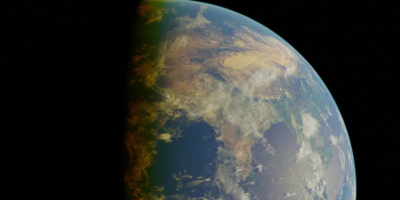
Seven of nine planetary boundaries are now breached. A sourced guide to every boundary, what changed in 2025, and how to read the numbers without mixing datasets.
Read more →
How Microsoft's PyTorch-Wildlife framework brings MegaDetector, species classifiers, bioacoustics, aerial detection, and conservation AI workflows into one open-source model zoo.
Read more →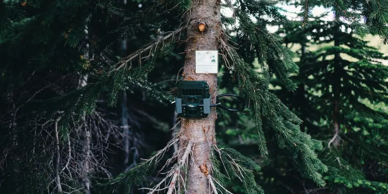
Conservation X Labs and Meta released SA-FARI, a large open-source multi-animal tracking dataset for wildlife video: 11,609 camera-trap clips, 16,224 masklets, 942,702 boxes and masks, and 741 independent locations.
Read more →
A practical, ethics-first comparison of South African wildlife, marine, reserve, sanctuary, and conservation volunteer programmes for students planning a study, gap-year, or career-building trip.
Read more →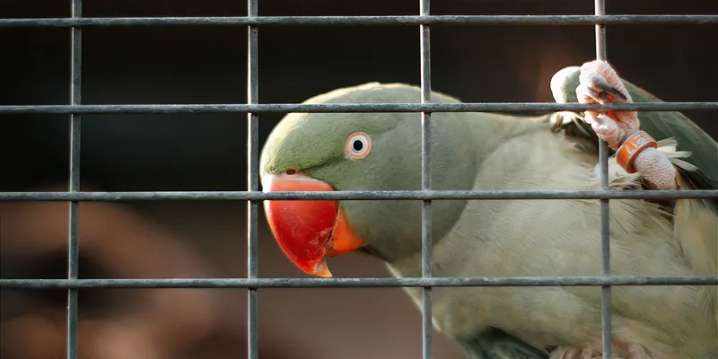
A global overview of how artificial intelligence is changing wildlife conservation: camera traps, bioacoustics, individual animal ID, drones, satellites, anti-poaching, fisheries monitoring, animal communication, foundation models, and the limits that still matter.
Read more →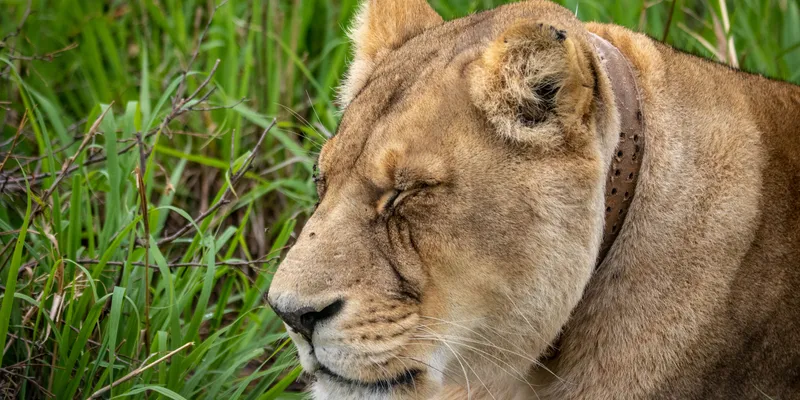
From GPS collars and camera traps to offline data apps, radio networks, satcom, and operations platforms like EarthRanger and SMART — a practical map of the technology that keeps conservation teams working in the world's wildest places.
Read more →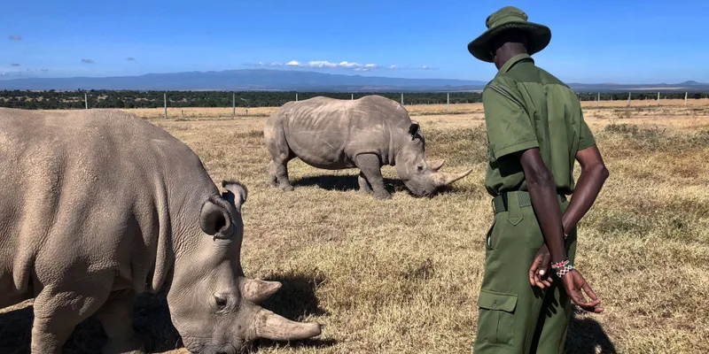
A plain-language field guide for turning raw camera-trap and wildlife images into clean, useful conservation records using safe file handling, metadata, AI-assisted review, human verification, and responsible reporting.
Read more →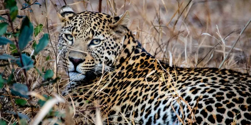
Operating across 31 reserves in the Greater Kruger, Ingwe has individually identified over 200 leopards. They run five research projects on one salary. This is how they do it.
Read more →
A field scientist's honest comparison of CyberTracker, ODK, SMART, Survey123, Fulcrum, iNaturalist, and Field Log — the apps that turn observations into data.
Read more →
"Works offline" are the hardest three words in software. What broke, what held up, and what we'd do differently.
Read more →
A no-nonsense field guide to designing biodiversity monitoring that actually works. From indicator species to occupancy models, camera traps to eDNA, and the five mistakes most programmes get wrong.
Read more → An honest, no-hype comparison of camera trap tools: Wildlife Insights, MegaDetector, Timelapse, Camelot, AddaxAI, TrapTagger, and SpeciesNet. What each does well, where each falls short.
Read more →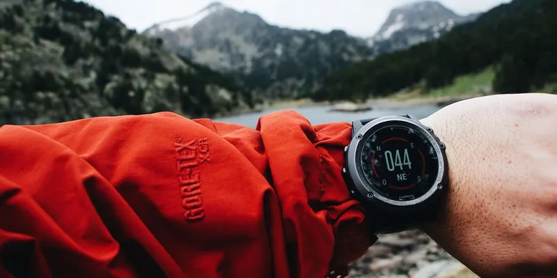
Why your phone says 3 meters but your points are 40 meters off. How GPS actually works, what goes wrong in the field, and how to get better accuracy without a survey crew.
Read more →
A data-driven open letter documenting the state of our planet. Every number is real. Every source is cited. Every trend is accelerating.
Read more →